The plan for this year’s trophy-hunt in the Himalaya had been Yala Peak. My hiking friend, DC, and I were all set to go to Nepal in March to conquer it, but then covid-19 arrived in full force, and that was pretty much that. By summer this year, it was becoming apparent that it will be mid-2021 before travel is even possible, and probably many years before it becomes as cheap and easy as it once was.
So, DC and I decided on an adventure (well, a hike) nearer to home. The previous trek we did, which we both enjoyed thoroughly, was the Manaslu circuit. After some “research” (i.e., a vague notion and ten minutes on the web), we decided that a broadly equivalent effort in terms of distance and ascent per day would be to combine Hong Kong’s Wilson Trail, Lantau Trail, and the Plover Cove Reservoir Loop. These would not involve Hong Kong’s highest peak, but they were off the beaten path and, we hoped, less crowded than the better-known Maclehose Trail.
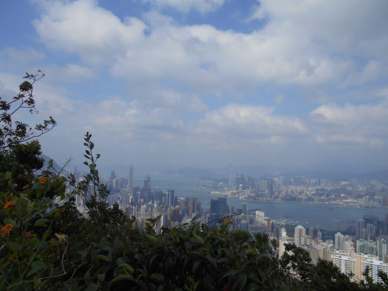
The Wilson Trail starts at Stanley with a horrendous pair of hills known as “The Twins,” which consist of an endless concrete staircase, several false summits, but with a pretty good view at the top over the south of Hong Kong island. Unfortunately, the weather was and remained hazy, and the view wasn’t that great. No photos, but we slogged on, down the even steeper steps on the other side, up more concrete steps to Violet Hill, and on to the second section which goes over Jardine’s Lookout and then along a spur. By the time we got that far, the weather had cleared and we did get a photographable view:
Onwards, and we dropped down into urban Hong Kong and, in the spirit of Himalayan hiking, stopped for curry:

This turned out to be the First Big Mistake – far too much food! We headed over the harbour to complete the day’s hiking with section 3 of the trail, which is graded moderately difficult but long. It starts, however, with a stiff incline, and I just didn’t have the energy to digest an enormous meal and keep the pace. I lumbered up, with DC disappearing out of sight ahead of me. We made it, nonetheless, and wrapped day 1 – though not without stopping at a local market for the obligatory beer:

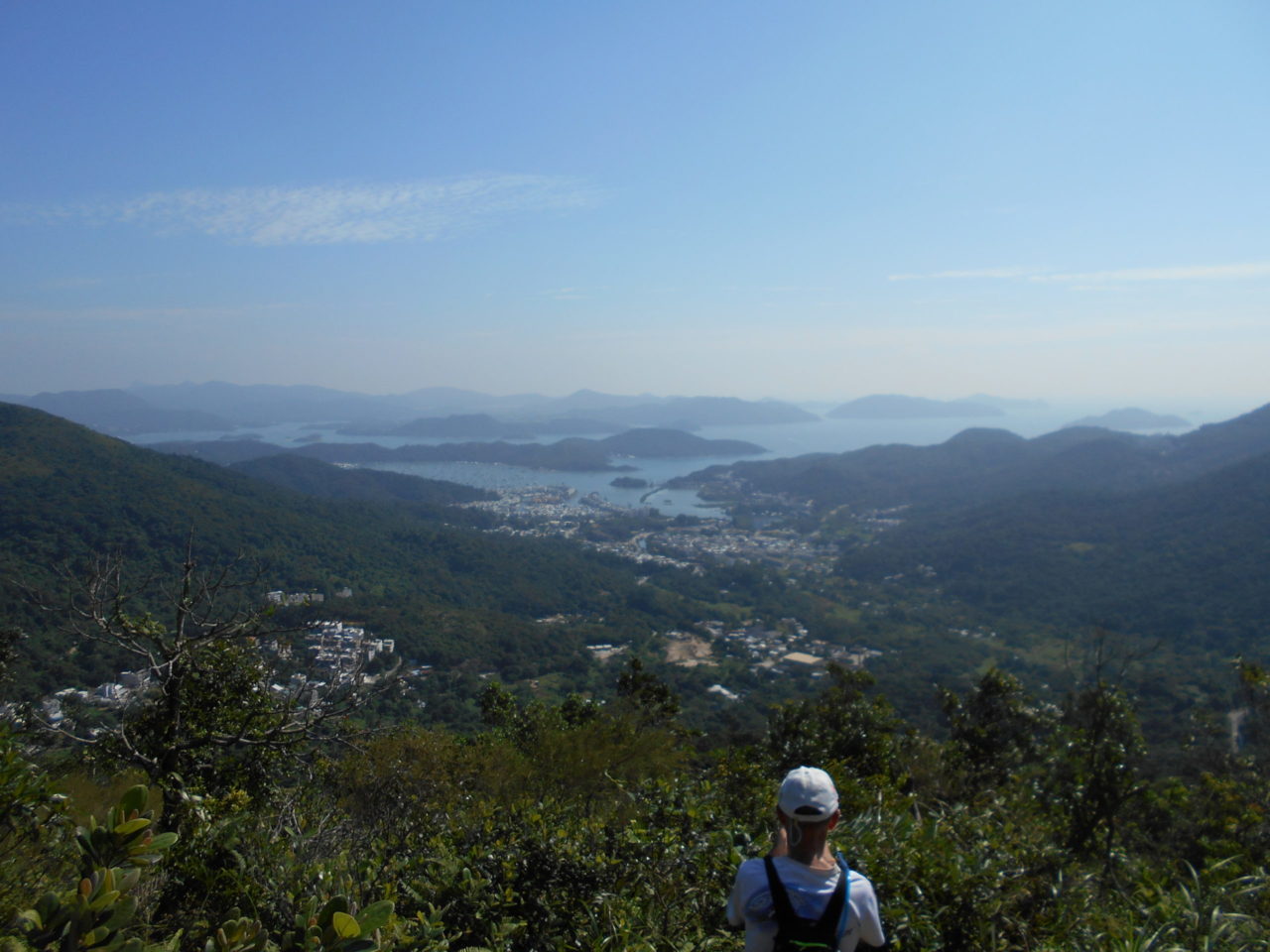
Day 2 turned out to be a delight. For the first part of the day, we had the trail more or less to ourselves. It snaked through virgin woodland, and was quite flat so gave my somewhat stiff muscles a break. There was a steep bit, but the effort was well worthwhile, with magnificent views out over the Sai Kung peninsula and beyond:
The next section was unremarkable – along the ridge, down and along a government catchwater – then over the Tai Po road and along Smuggler’s Ridge to the Shing Mun (Jubilee) Reservoir. Another obligatory beer in Tsuen Wan, and it was back to our respective homes. Muscles: still stiff. Appetite: massive.
Day 3 was the easy one by design. Section 6 of the Wilson Trail is a flat, long path around the shore of a reservoir, and the following section consists of gentle inclines up and down Lead Mine Pass and into Tai Po, though with a final flourish that introduced me to a part of Hong Kong that I had no idea even existed. We splashed out on a first-class seat home on the train and, as it was barely 2 p.m., forwent the beer.
We had planned to put the Wilson Trail on hold and switch to the Lantau Trail starting on Day 4. This involved a horribly early start, packed breakfast on the ferry, and the most brutal single day’s walking Hong Kong has to offer, up Sunset and Lantau Peaks – 1400m ascent in a single day and, at times, a very steep 1400m. Many of the steps are over a foot high, and the gradient is more than 1:1.
The good news was that we had both hit our stride. Going up Sunset Peak is only steep towards the top (which is not technically on the Lantau Trail, but it seemed like cheating to skip it); going down the other side is easy. Lantau Peak is steep no matter which way you attack it, but I made it and we tumbled down the other side. DC and I walk at about the same speed over distance, but he’s faster going up (though his pack was much smaller than my 10kg), and I’m faster downhill, so that worked out. Sadly, the views didn’t work out: the weather was perfect for hiking, with a strong wind and the right temperature, but it was too hazy for photos.
On the way to our rented accommodation, we purchased our de-riguer beers from a ma and pa store. The owner turned out to be 78 years old – he barely looked 60 – and made it a point to hike for five or six hours a day, five or six days a week (and showed me his hiking boots to prove it). He was one of the most contented men I’ve ever met.
Our wives came to Lantau to join us: we went for pizza, beer and an early bed. The next day, we got better conditions on Keung Shan: here are some unexpected prayer flags:

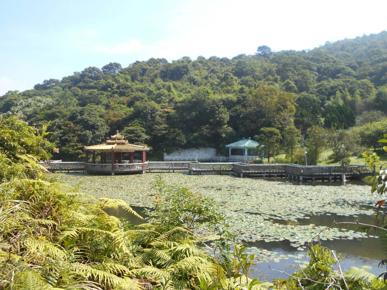
And here’s a folly that’s been around for ages:
It had been almost thirty years since I had last hiked that section: it used to be a favourite of mine, but is too steep for my wife. I’d forgotten how remote and beautiful that part of Lantau is. We joined our wives for lunch at Tai O and did the easy part of the day along Lantau’s rugged and almost unpopulated south coast:

We’d planned the route so that Day 5 would end pretty much at the accommodation we’d rented, and that the accommodation was close to Lantau’s best restaurant, The Gallery. The restaurant lived up to its reputation, and we retired, almost too full to walk.
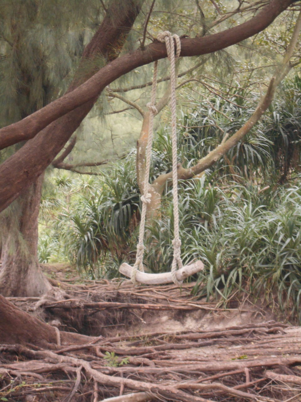
The final day in Lantau was the least challenging, and we knocked it off without much thought. We did come across a beach where a few independent families were staycationing in tents. They’d hung a swing for themselves:
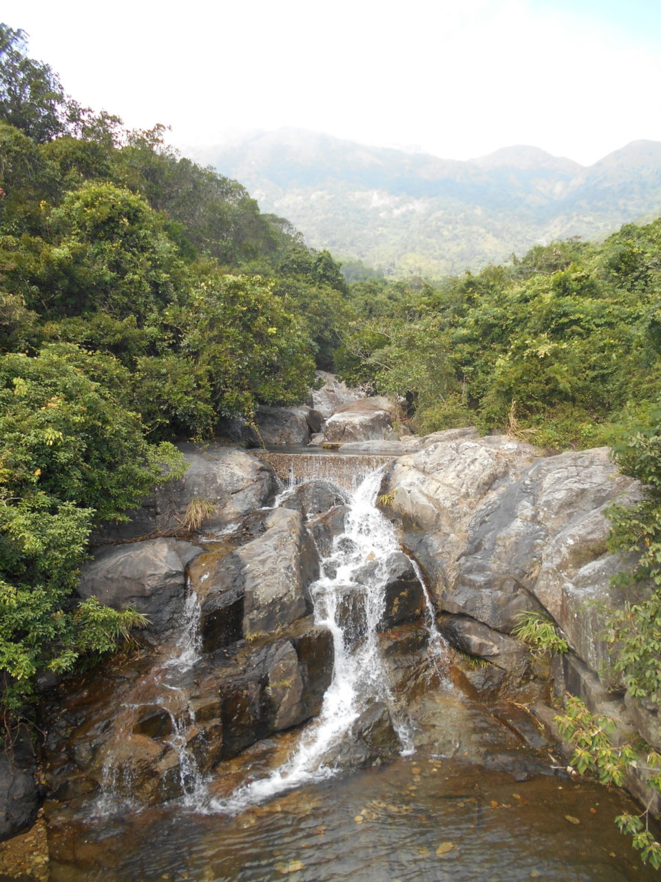
Soon after, I came across this delightful waterfall. That’s Sunset Peak peeking through the haze in the background:
The Lantau Trail was grueling: 78km and about 3000m ascent in three days, and we felt justified in a celebratory beer.

Just to the left of DC’s head, in the sunshine next to the mooring bollard, was a fellow who had achieved an admirable degree of inebriation: he was barely able to get his bottle of cheap wine to his lips, lighting his cigarette was beyond him and, although he managed at times to pull himself up to his elbows before collapsing once more, standing was well beyond him. And then this sailed in:
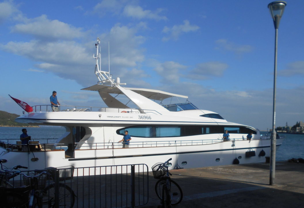
Not just any old gin palace, but a massive one. His? Someone else’s? We never found out, but it would have been so Hong Kong had it been his.
On the way home, there was a stunning sunset:
And Hong Kong’s streets at their best:

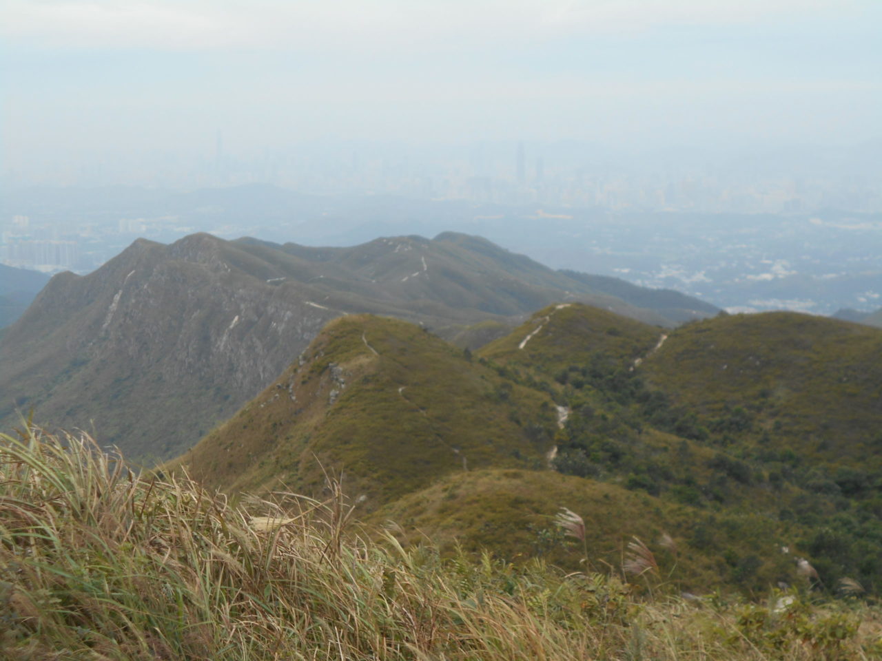
The next day, Day 7, was the big one The last three sections of the Wilson Trail consist of Cloudy Hill and the Bat Sin Leng, a grueling but stunning ridge. We again set off early. Going up Cloudy Hill, many people were doing their morning calisthenics (and one fellow chanted a Buddhist mantra through a microphone hooked up to his phone). Soon, they were soon behind us. Cloudy Hill was not particularly steep but, like the Twins, had one false summit after another. Again, the weather was too hazy for good views. We dropped down to a reservoir which neither of us knew existed, and then started up a massive flight of stone stairs.
The top was stunning. A sparse beauty, desolate and almost haunting:
Sadly, that’s about the best shot I have. Again, conditions were not good for photography. Though we did come across this brook on the way down.

And that was our second triumph: we’d finished the Wilson Trail.
DC has a billion points in airline and hotel imaginable, so we had a night of luxury on his points at the Hyatt at the Chinese University of Hong Kong: the next day was the killer. But, for me, it was not optional: I don’t like to use things I’d do anyway to raise sponsorship money, but I’d found out a friend was terminal, and the sponsorship money would double if I could pull off this last day.
The Plover Cove Reservoir Loop is about 22km, so quite long, but it has lots of ups and downs, and many of those are on very loose ground. On our very first downhill run, I came across a lady who’d twisted her knee. I offered a pressure bandage (that 10kg pack does contain some useful items!), but realised I hadn’t a clue how to apply it. I hope her partner worked it out.
Up and down, up and down. The peaks are not as high as those in Lantau or the Bat Sin Leng, but there are lots of them and they pile in one after another. The views were still hazy, but here’s one of Double Haven in the north-west of Hong Kong

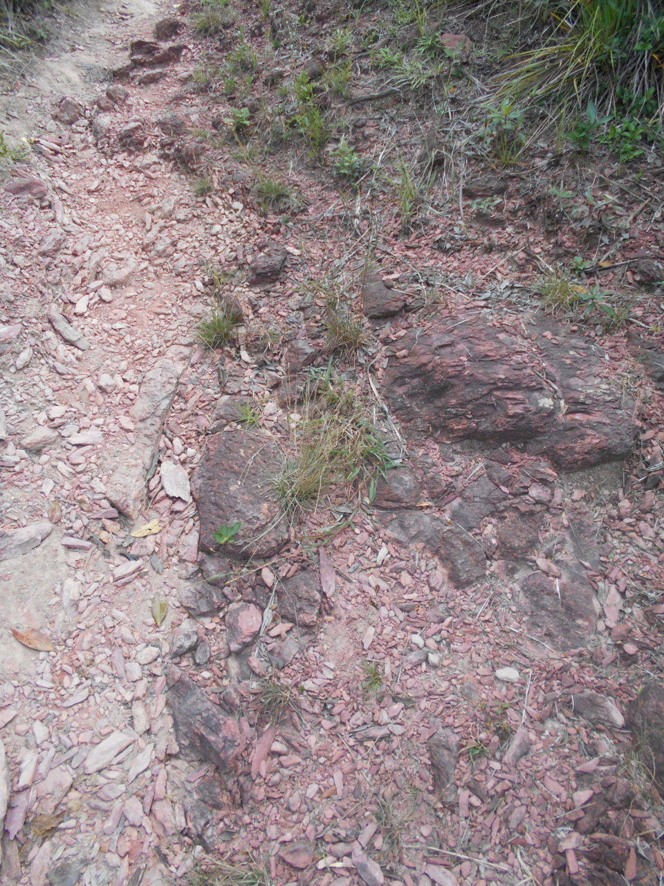
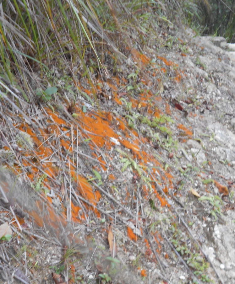
And here is some of the red rock for which this trail is famous.
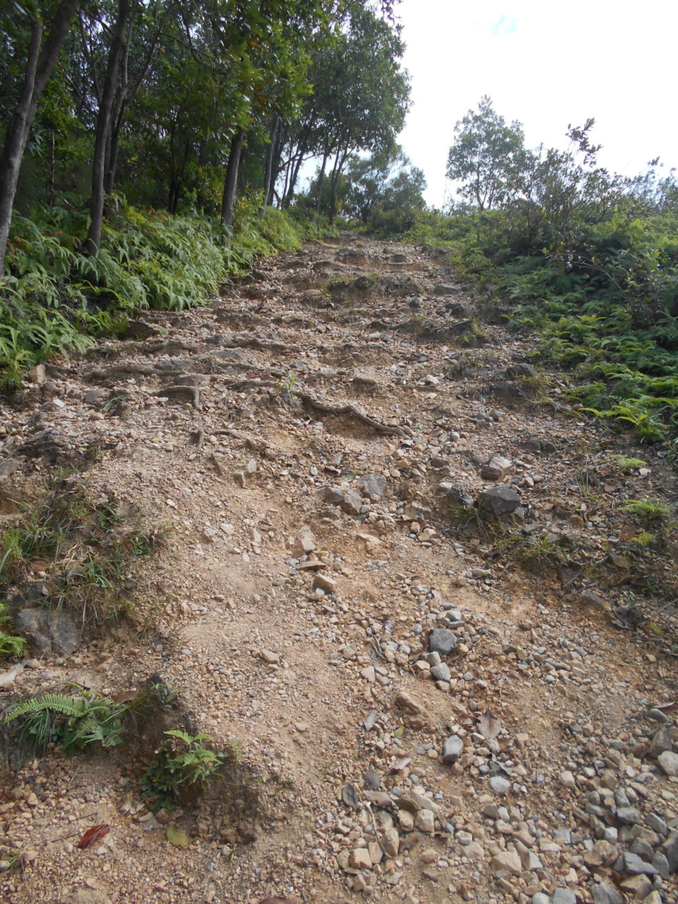
and the last incline – of course, it turned out not to be – which shows why the Plover Cove loop is so difficult – scree all the way:
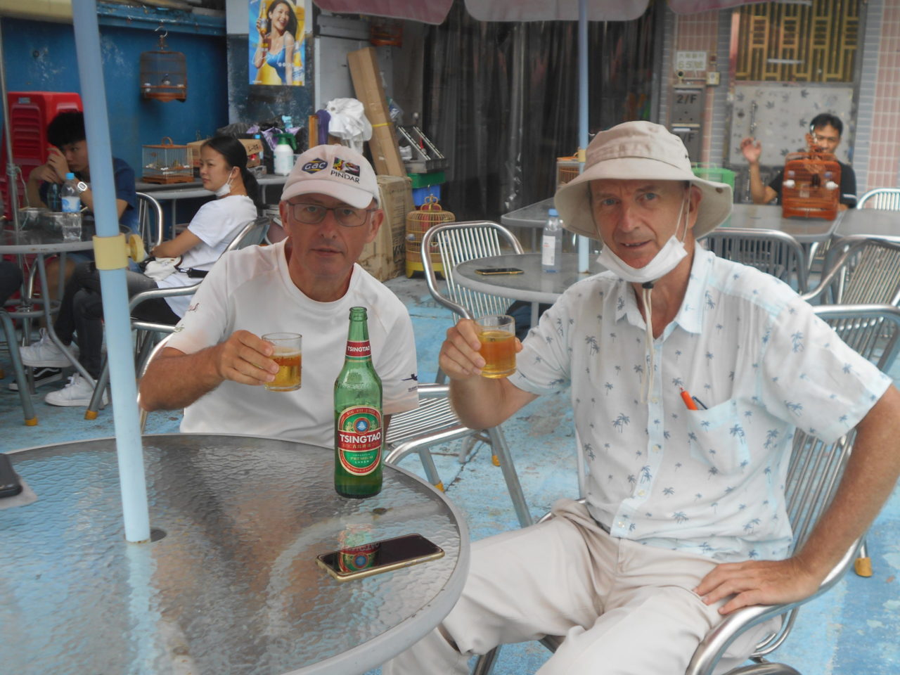
And, after 180km in eight days, and about 6,000m ascent (and descent), here are the hikers enjoying a well-earnt celebratory beer.
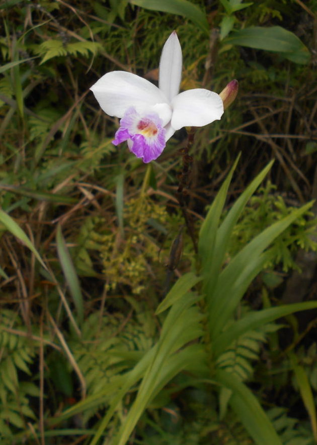
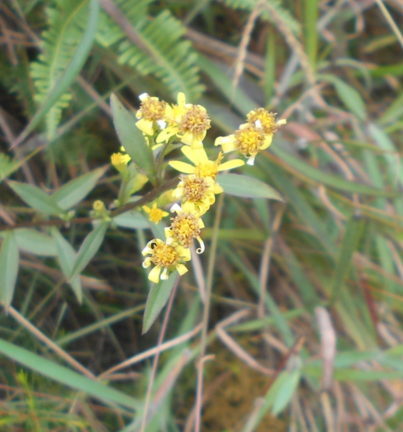
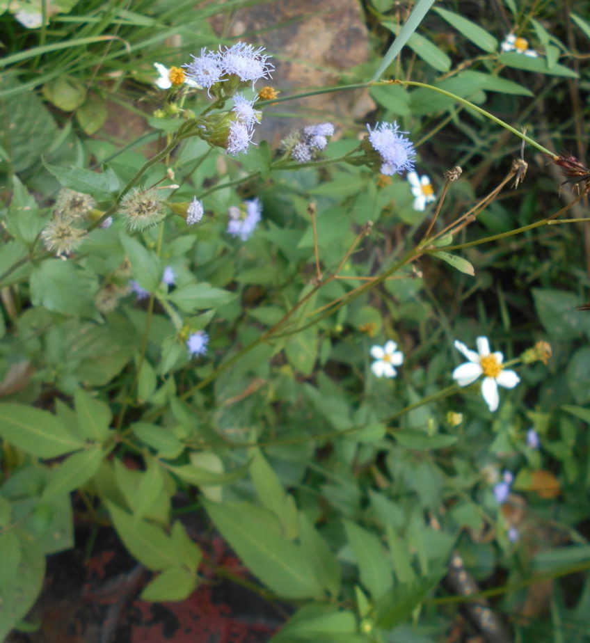
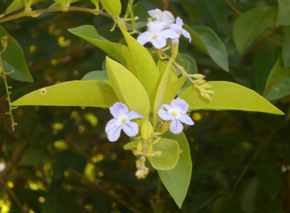
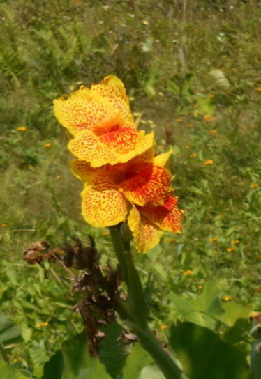
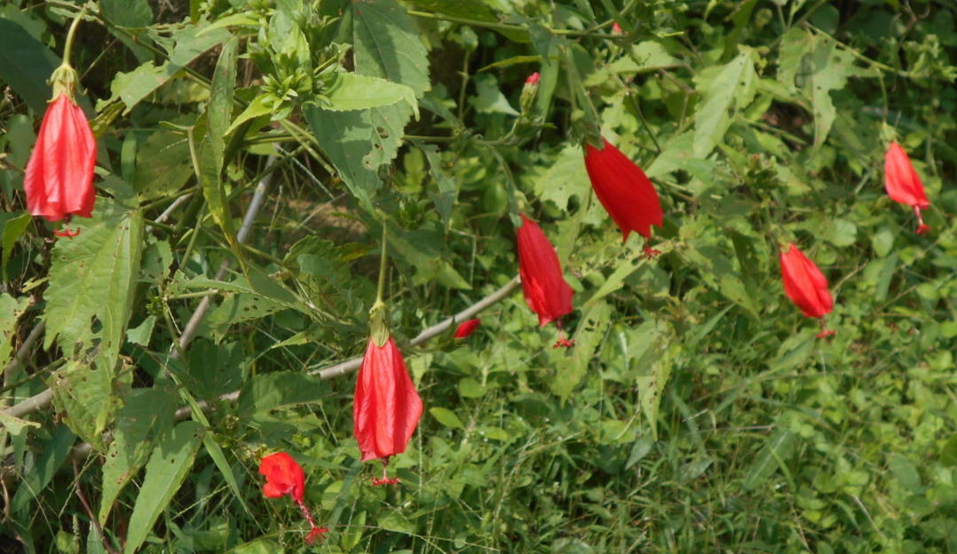
A friend of mine suggested that I should make something more of the trek than just another hike. I’m not very imaginative about such things – I suppose with a little more planning and thought, I would have liked to have contributed to documenting where the most litter is thrown away on Hong Kong’s lovely trails, but I was maxed out at work and didn’t really manage to get very far with that project. However, my wife loves flowers, so here are a few:


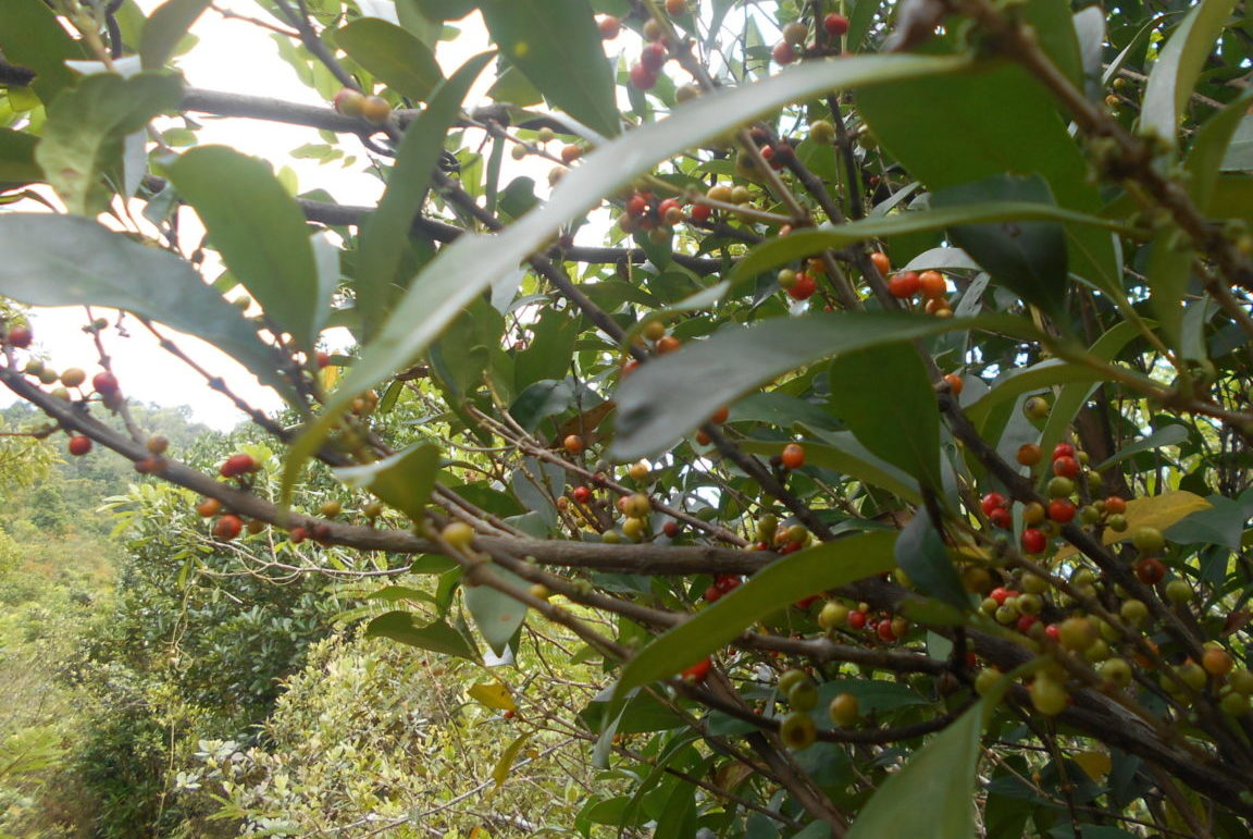
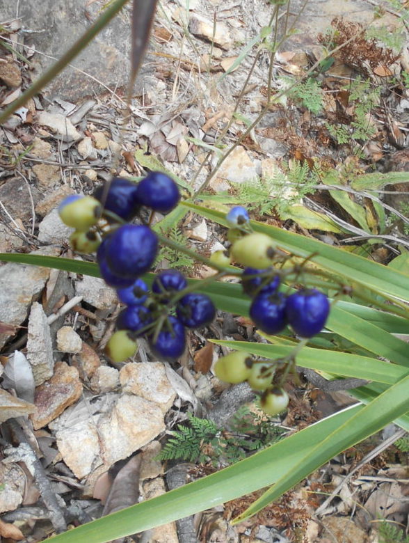
To my surprise, there were also some berries:
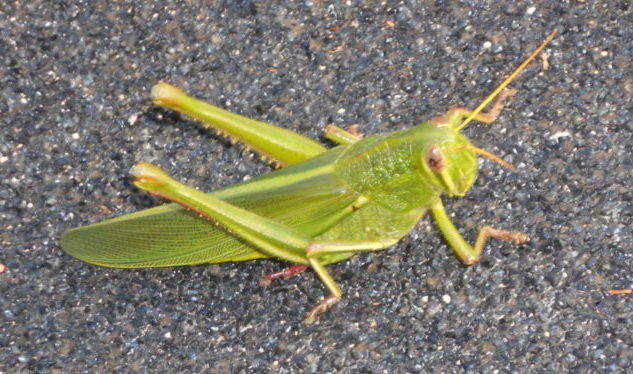
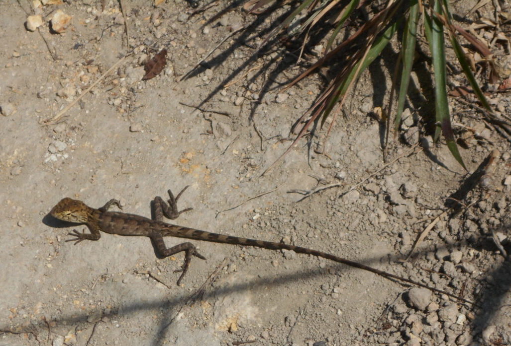
and a few critters…

And let’s not forget that lichen is also a plant:
It grows best where the air is cleanest – and that was the best aspect of all.